PROJECT OVERVIEW
Client:
Frontier Precision, USA
Category:
1. Web based GIS Application
2. Xamrian based Cross Platform Mobile Application
2. Xamrian based Cross Platform Mobile Application
Objective:
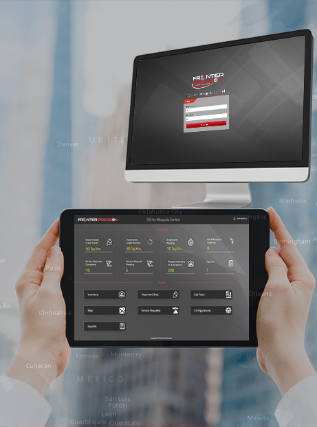
Mosquito Control Suite includes a cross platform Mobile application to automate Mosquito Control field operations with a backend Web based GIS application to manage and plan Mosquito control activities in Field.

Business Need
Frontier Precision needs to implement a Mosquito Control Software which is to be launched as a product for multiple clients.
The software includes a cross platform Mobile application to automate Mosquito Control field operations and a Web based GIS application as an office counterpart to manage and plan Mosquito control activities in Field.
Solution
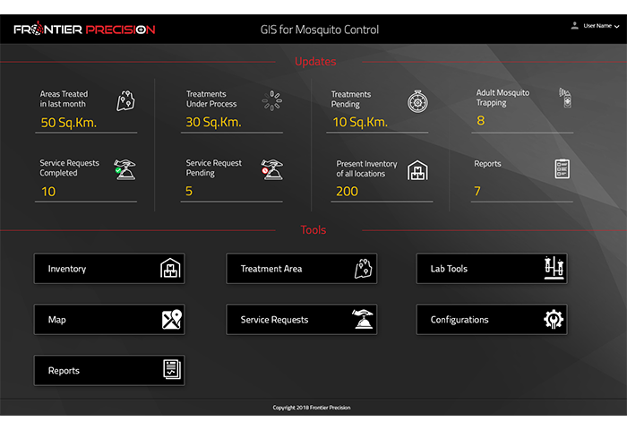
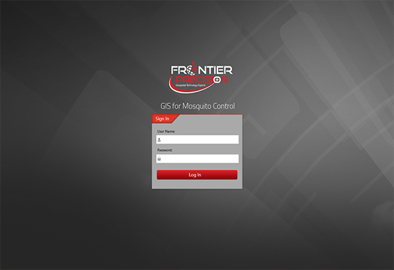
The web application of Mosquito Control Software (FieldSeeker GIS) is an ArcGIS online based platform that provides users with simple, intuitive tools for finding, collecting and reporting data related to mosquito control activities.
The web application is developed on the ESRI JavaScript API and includes following features:
- Dashboard landing page providing summarization of status of various activities in the form of graphs and charts
- Custom waorkflows as per allocated user role
- Map Data Editing
- Office workflows include configuration, activity review, product inventory, proposed treatment area management
- Search / filter / query tools
- Reporting tools
- Service request entry.
Mobile apps include features for:
- Field Inspections
- Site Treatments
- Treatment Calculator
- On-Truck Inventory
- Storm Drain Treatments
- Q/A Activity
- Field Scouting
- Adult Mosquito Trapping
- Landing Counts
- Larval Samples
- Service Requests
- Navigation Directions
- Proposed Treatment Areas
- Restricted Areas
- Search Options
Benefits
- Fast & accurate field operations
- Consistency & Validity of Data
- Utilizing resources efficiently
- Efficient and fast report generation(Map Plotting)
- Field and office users benefit from seeing a common up-to-date picture of their operations.
Technologies used:
- ArcGIS JavaScript API
- HTML5 CSS
- JQuery
- ArcGIS Server 10.5.1/10.6
- ArcGIS Online Server.